Mapping mangrove forest land cover change in Jaro Floodway, Iloilo City using Google Earth imagery
MARY YSHABELLE M. FLORES, and ARIS C. LARRODER
Philippine Science High School – Western Visayas Campus, Brgy. Bito-on, Jaro, Iloilo City 5000, Department of Science and Technology, Philippines
Abstract
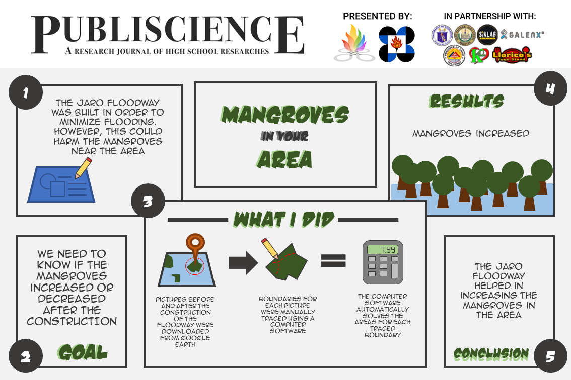
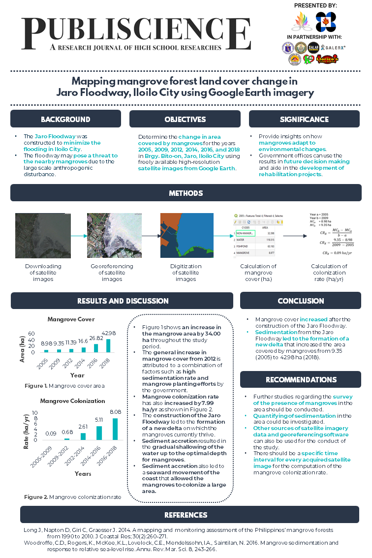
The construction of the Jaro Floodway was completed in 2011 to divert the floodwater from the Jaro River towards the Iloilo Strait. Its construction may pose a threat to the nearby mangrove forest due to its large-scale anthropogenic disturbance. This study aims to determine the effect of the floodway to the nearby mangrove forest in terms of its areal change. Google Earth imagery was downloaded for the years 2005, 2009, 2012, 2014, 2016, and 2018. The images were digitized in Quantum Geographic Information System (QGIS) and classified into four thematic classes, namely, mangrove, non-mangrove, fishpond, and water. Mangrove cover increased throughout the years measuring 8.98 (2005), 9.35 (2009), 11.39 (2012), 16.60 (2014), 26.82 (2016), and 42.98 ha (2018). The general increase in mangroves is attributed to a combination of factors such as sedimentation rate and mangrove planting efforts. Its construction led to the formation of a new delta which the mangroves currently thrive in.
Keywords: mangrove colonization, sedimentation, remote sensing, mapping, satellite imagery