Determining the impact of the COVID-19 lockdown on mangroves of a Class C coastline in Iloilo City, Philippines through remote sensing
PAUL ALDREM P. LAMANERO, JERICK ADRIAN S. MOSQUETE, and HAROLD P. MEDIODIA
Philippine Science High School Western Visayas Campus – Department of Science and Technology (DOST-PSHS WVC), Brgy. Bito-on, Jaro, Iloilo City 5000, Philippines
Abstract
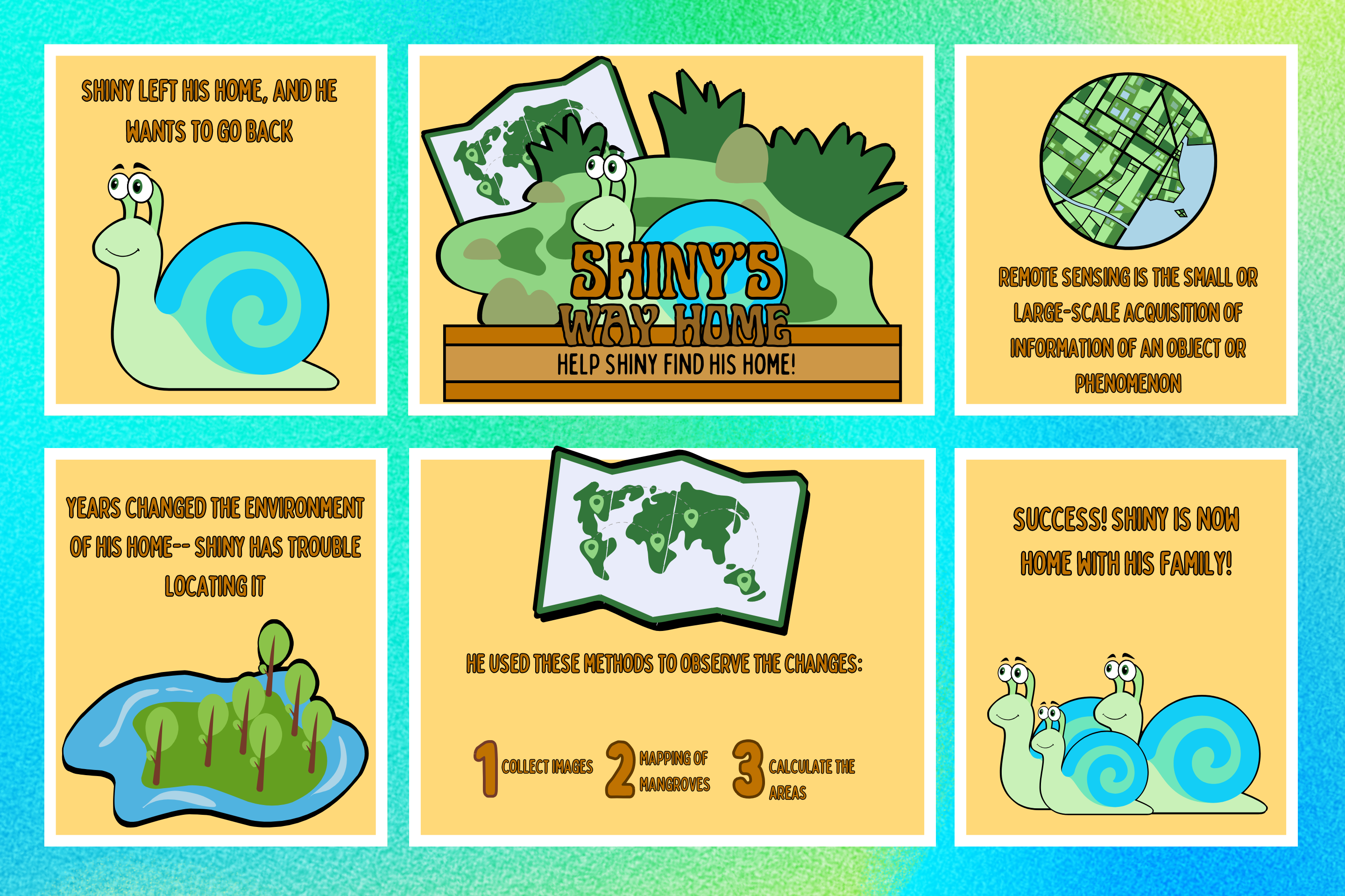
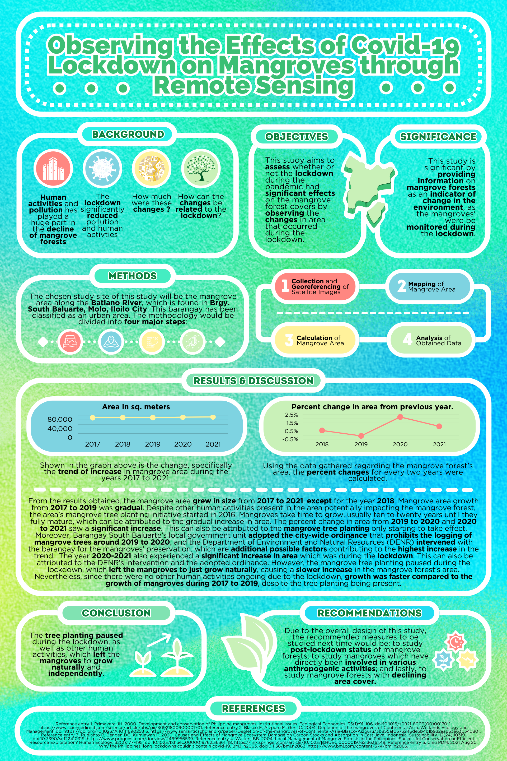
The growth of mangroves is negatively impacted by human activity; however, lockdowns were imposed across the Philippines during the COVID-19 outbreak, resulting in a decrease in human activity. This study determined the lockdown’s impact in terms of the decrease in human activity on the mangroves in the Batiano River, Iloilo City, Philippines. The mangrove area was mapped yearly from 2017 to 2021 using the Quantum Geographic Information System (QGIS). Percent changes in the area every year were computed and showed results of 0.57%, -0.09%, 2.22%, and 1.08% in 2018 to 2021 respectively, compared to the immediately previous years. The marked increase from 2019 to 2020 can be attributed to mangrove cutting prohibition and preservation by the Department of Environment and Natural Resources (DENR). The percent change from 2020 to 2021 is higher compared to the years with no interventions and lockdowns, but cannot be attributed to the lockdown alone.
Keywords: QGIS, mangroves, pandemic, remote sensing, COVID-19 lockdown
POSTERS