Developing a neural network that uses satellite imagery to estimate carbon dioxide emissions in the Philippines
EWEMIZ C. INSIGNE, KIRSTEN DIANNE G. DELMO, NICO ANDREI R. SERRATO, and GERALD U. SALAZAR
Philippine Science High School Western Visayas Campus – Department of Science and Technology (DOST-PSHSWVC), Brgy. Bito-on, Jaro, Iloilo City 5000, Philippines
Abstract
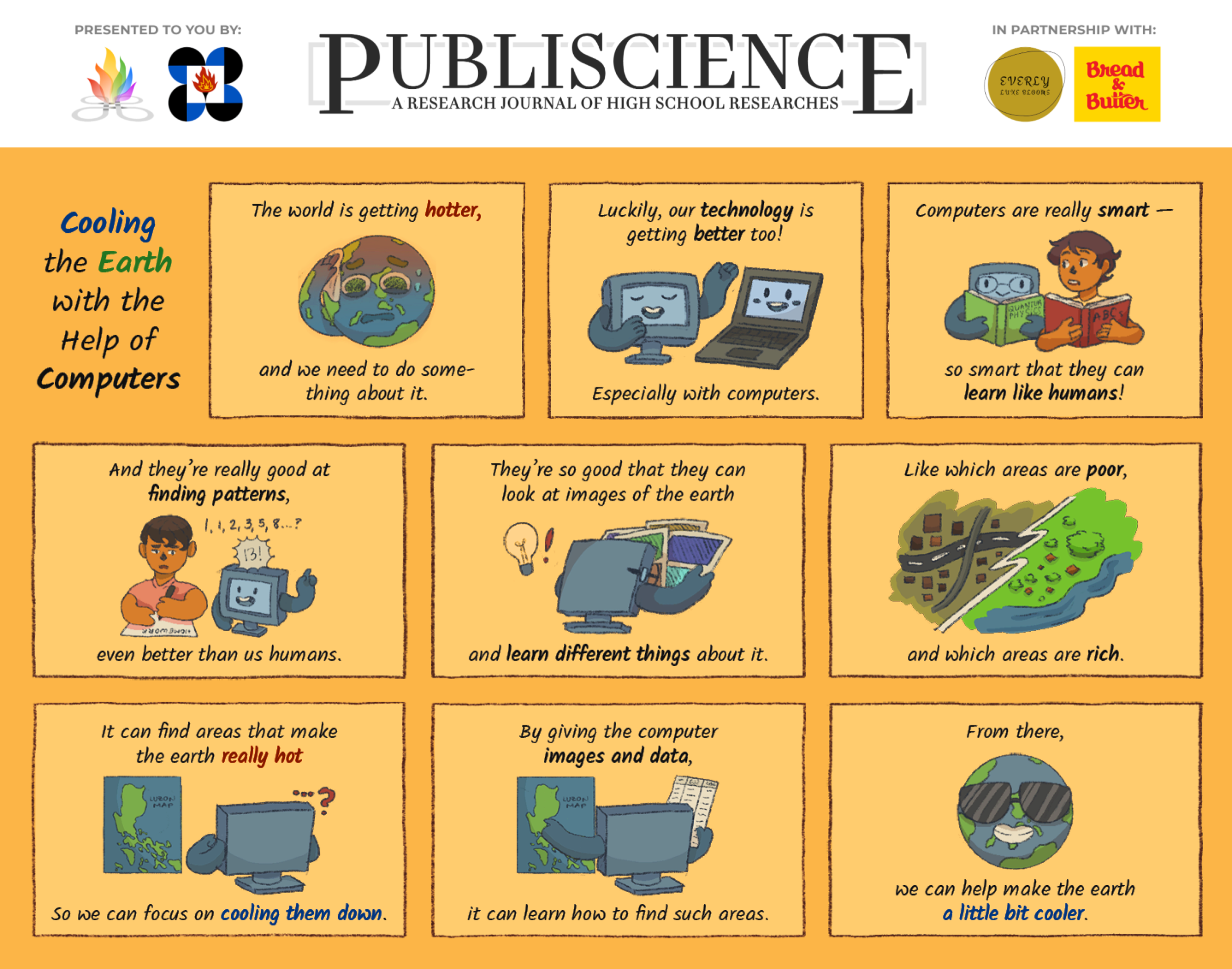
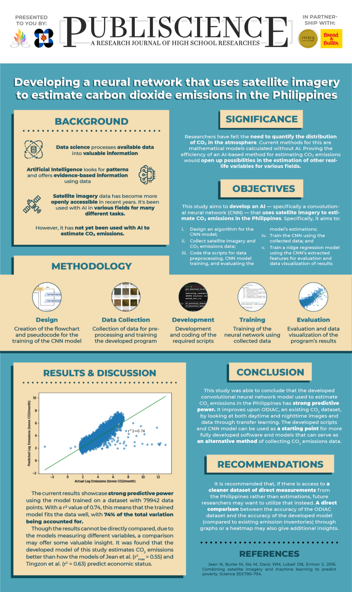
In recent years, satellite imagery has become a popular subject of studies involving artificial intelligence. AI and satellite imagery were used together to estimate real-life variables in various fields, such as predicting poverty levels, detecting oil spills, and analyzing coal mine areas. With the rising importance of climate change, this study aimed to develop a convolutional neural network trained with daytime and nighttime data through a transfer learning approach to predict carbon dioxide emissions in the Philippines. The developed scripts were adapted and based on code from public GitHub repositories and existing research. The trained model was concluded to have high predictive power (r2 = 0.74), and can be used as a starting point for more fully developed software and models that can serve as an alternative method of collecting CO2 emissions data.
Keywords: artificial intelligence, carbon dioxide, satellite imagery, neural network, data science
POSTERS